This weekend I’ve been up in the mountains in Grövelsjön and its surroundings. The autumn has shown it self from its most beautiful side, with all the yellow and red colors and also a sun that is still warming. In Rendalens community you can find a dramatical mountain with three tops which together goes under the nickname ”The Queen”. The real name is Rendalssølen and the highest top is called Store Sølen, 1755 m. But it’s not just the top that makes it worth going there. The track all the way to the valley, the crystal clear lakes and the massive mountains give that little extra to get the perfect cinnamon bun. From Grövelsjön it takes about 1 h and 15 minutes drive. And from where the hike starts it took us 4 h and 20 minutes with return, total distance 24,5 kilometers. Note that we did jogging, a bit of walking and also took a 30 min stop on the top for a lunch break. Before continuing the last 500 height meters to the top you should refill your bottle with water (down in the Valley).
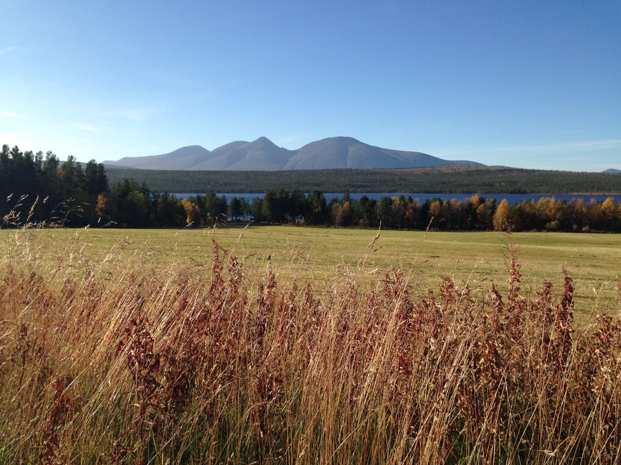
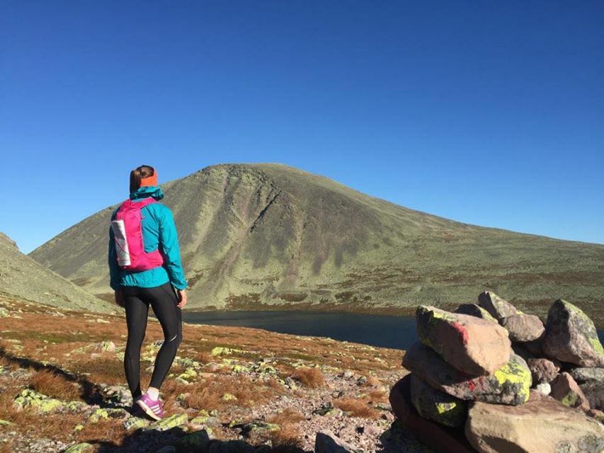
Rendalssølen from a distance. The highest point, which looks like a shark fen, called Store Sølen (1755 meters above sea level), is where we went up.

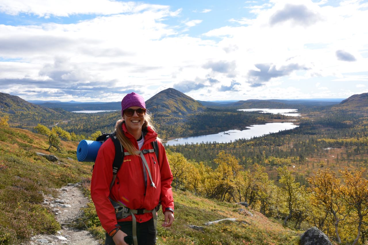
On the ”road” again. High on mountain life.

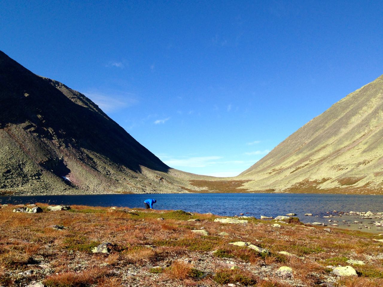
Taking the opportunity to refill the water tank.
The Valley, up on 1200 m.
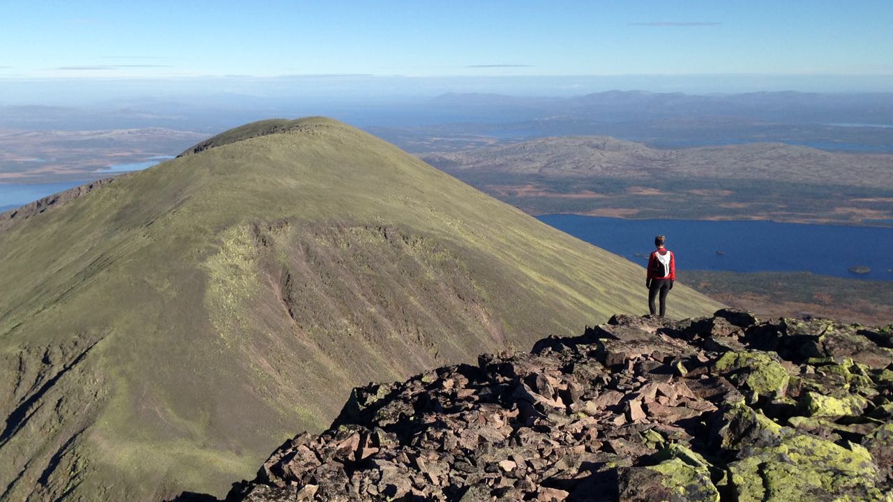
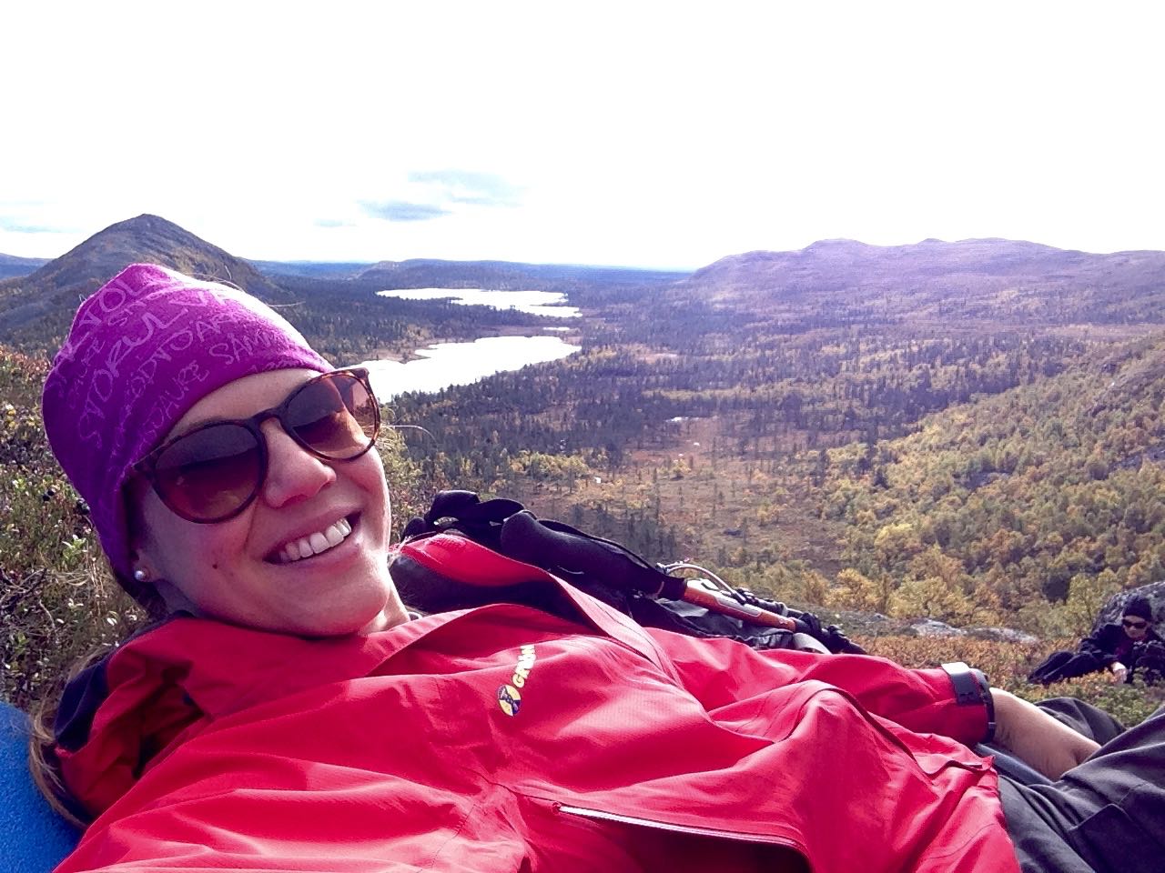
My friend is looking out over Norway with its spectacular view.

It’s quite steep on the top. But with an incredible view.
Go, go, go. And in between, remember to slow down, breath and enjoy the mountains.
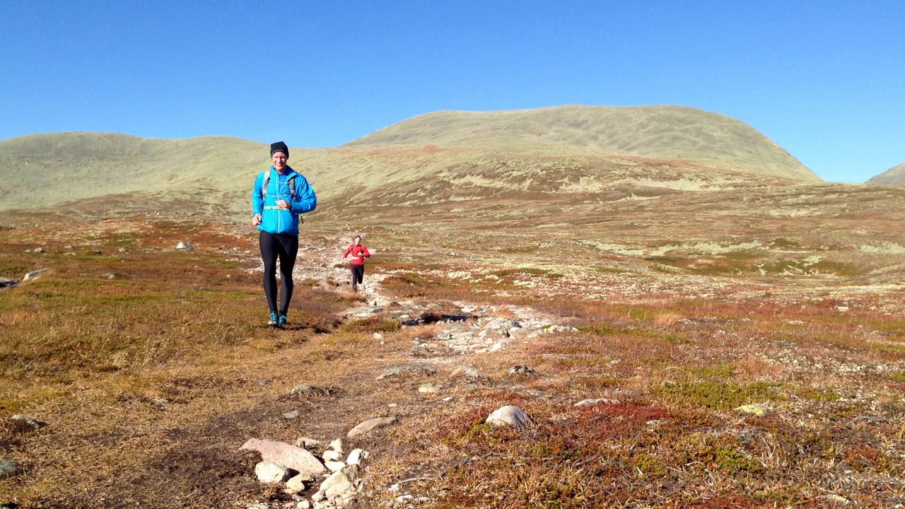
The track and environment invites to jogging.
Thank you Rendalssølen for my first visit to you.
Linnea